We specialise in developing GIS software from the ground up or customise existing GIS platforms to meet specific industry requirements. We create solutions that enable users to collect, store, analyse, and present geographic data effectively. Whether it is web-based GIS solution or desktop GIS or mobile GIS, we create solutions that deliver interactive maps with advanced data visualisation and geospatial analysis capabilities. We tailor our solutions to specific industry and use cases such as urban planning, environmental management, transportation, natural resource exploration, agriculture, and many other domains, incorporating industry-specific tools and workflows.
We have a set of GIS products which are in use and fast growing in popularity. Smart GIS, Smart Municipal Transport Information System, Smart Road Asset Management System, Smart Municipal Profiling are our GIS products that are currently used by various government and non-government organizations.

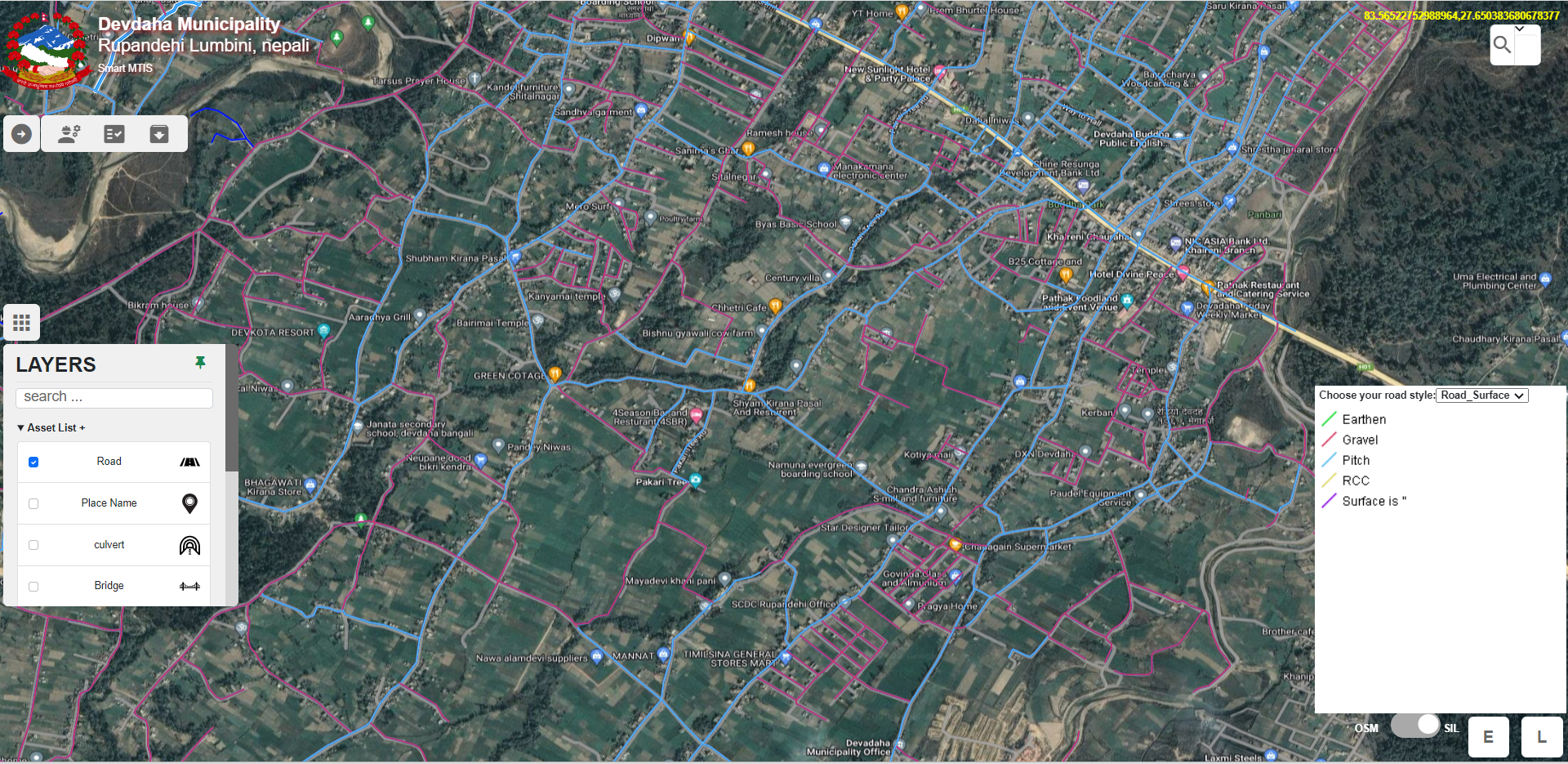
Municipal Transportation Information System (MTIS)
The Municipal Transportation Information System (MTIS) is a cutting-edge solution that combines Geographic Information System (GIS) data, web-based technology, and advanced data management capabilities. This powerful amalgamation equips local governments with the essential tools to make well-informed decisions and efficiently manage their transportation assets. With MTIS, enhancing the safety, efficiency, and overall infrastructure of road networks becomes an achievable reality.

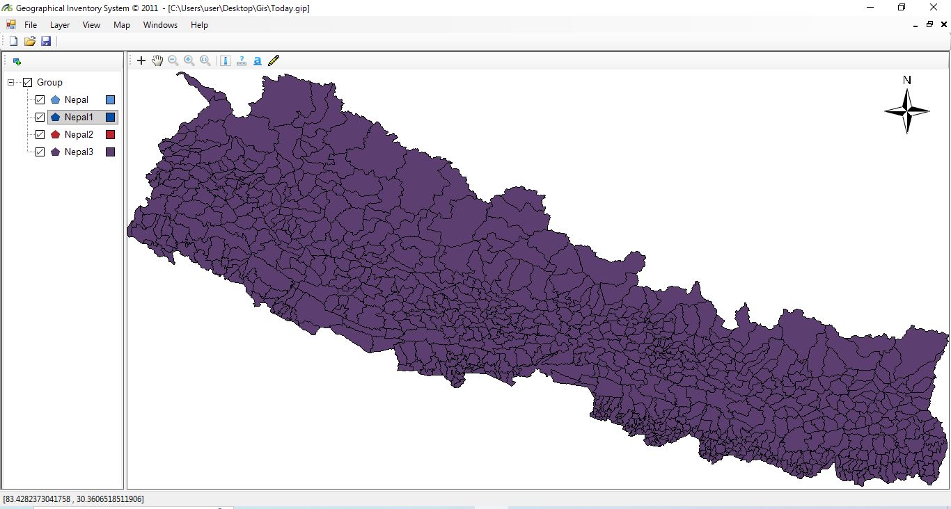
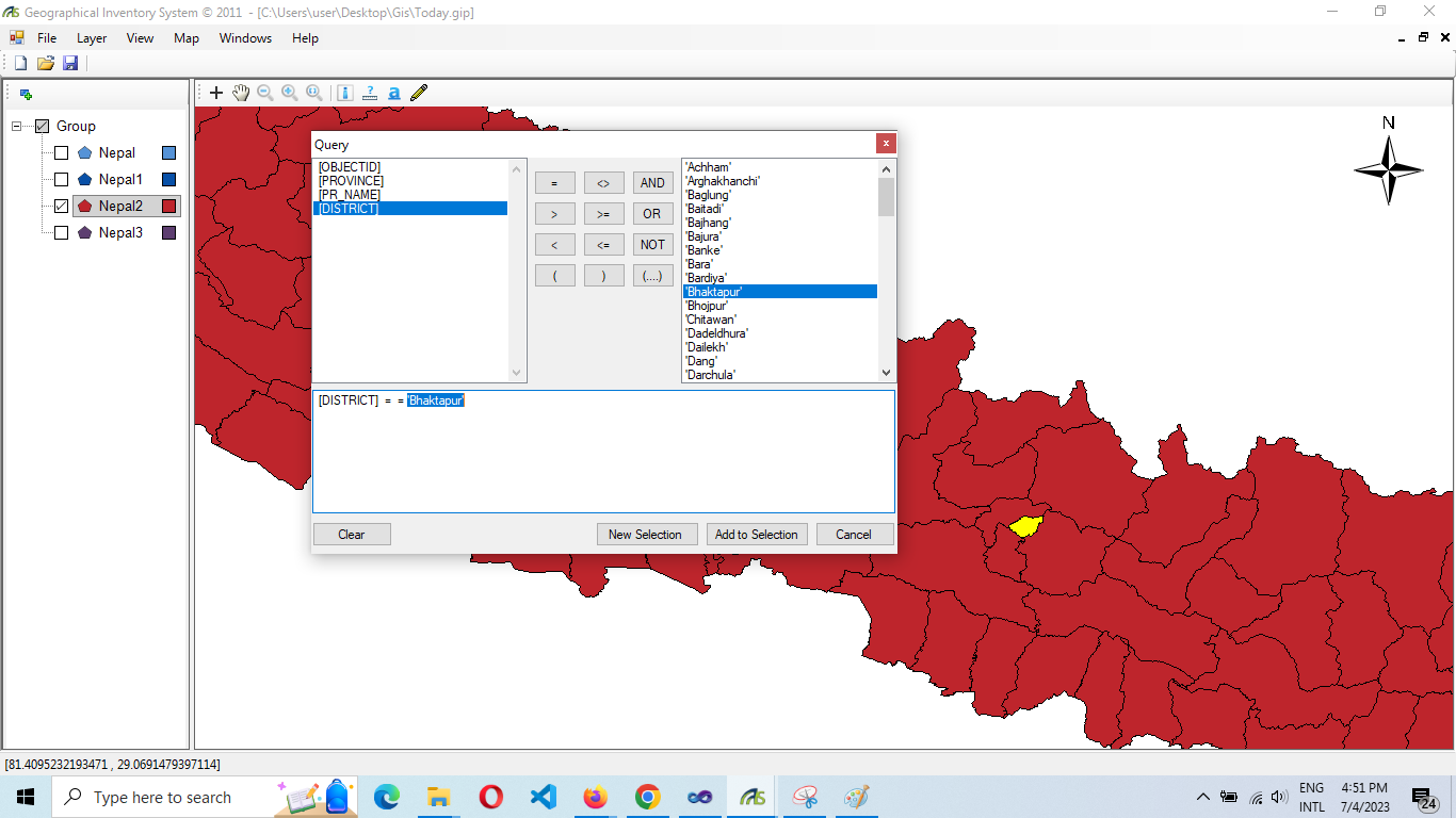
Smart - Geographical Information System (GIS)
Gis software ``Discover the power of our intuitive GIS software, designed to make spatial data analysis a breeze. Our user-friendly interface allows you to visualize, analyze, and interpret geographic data effortlessly. With powerful mapping tools and interactive features, you can gain valuable insights and make informed decisions for your projects. Experience the convenience of managing geographic information with our reliable and efficient GIS software. Try it now and unlock a world of possibilities for your spatial data needs.``

(Geographical Information System) GIS Profile
``Introducing our cutting-edge GIS-based Municipal Digital Profiling Tool - the ultimate solution for local governments. With our software, you can seamlessly collect, analyze, and visualize data to gain comprehensive insights into your municipality. Make informed decisions on urban planning, infrastructure development, and resource allocation. Our intuitive interface enables you to create detailed profiles of neighborhoods, demographics, and utilities, fostering effective governance and citizen engagement. Experience the power of data-driven decision-making and take your municipal management to the next level. Embrace the future of urban development with our GIS-based digital profiling tool.``